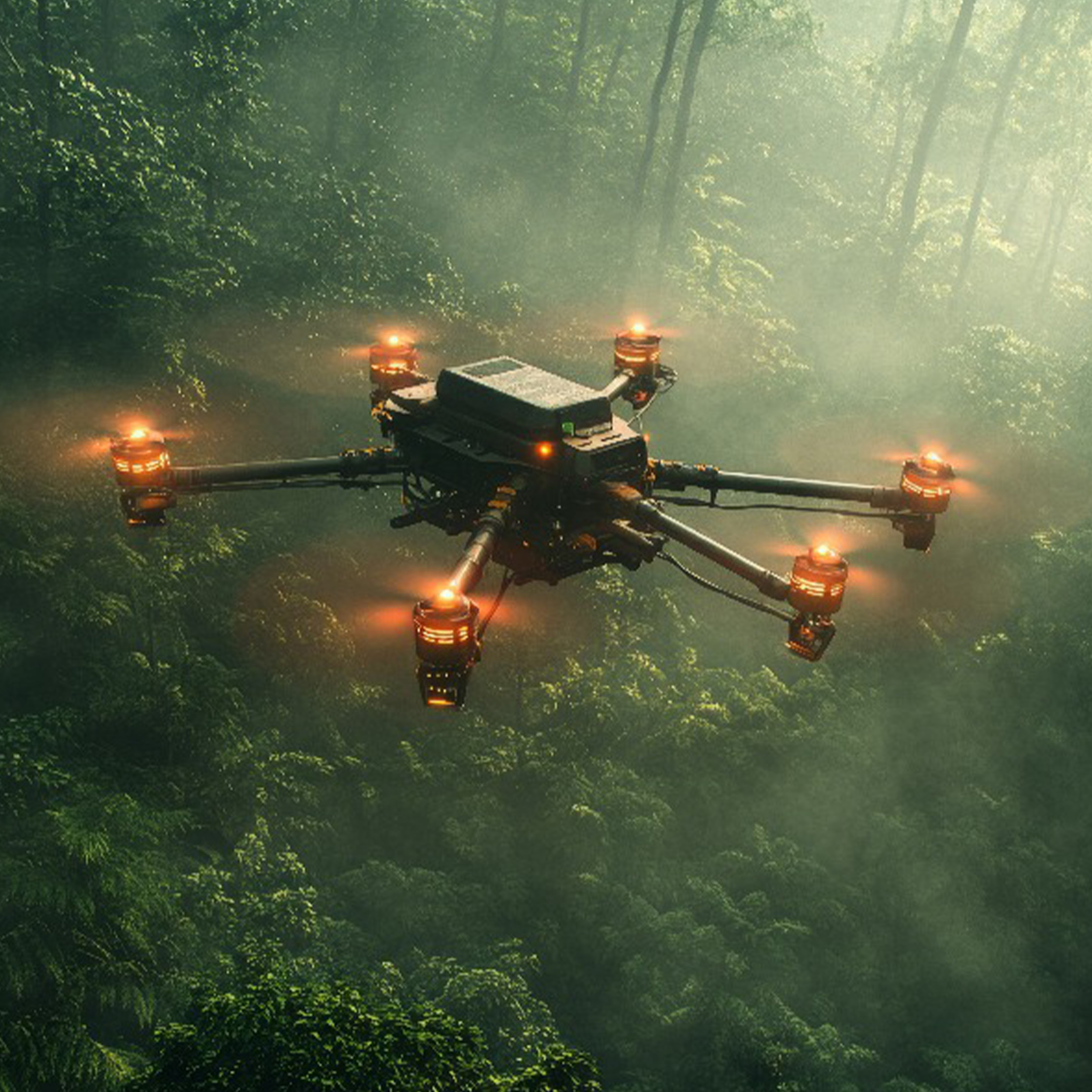
Search & Rescue
Equipped with thermal imaging, night vision, and high-resolution cameras.
Locate missing persons in low visibility, harsh terrain, or disaster zones.
Stream live video to command centres for real-time co-ordination.
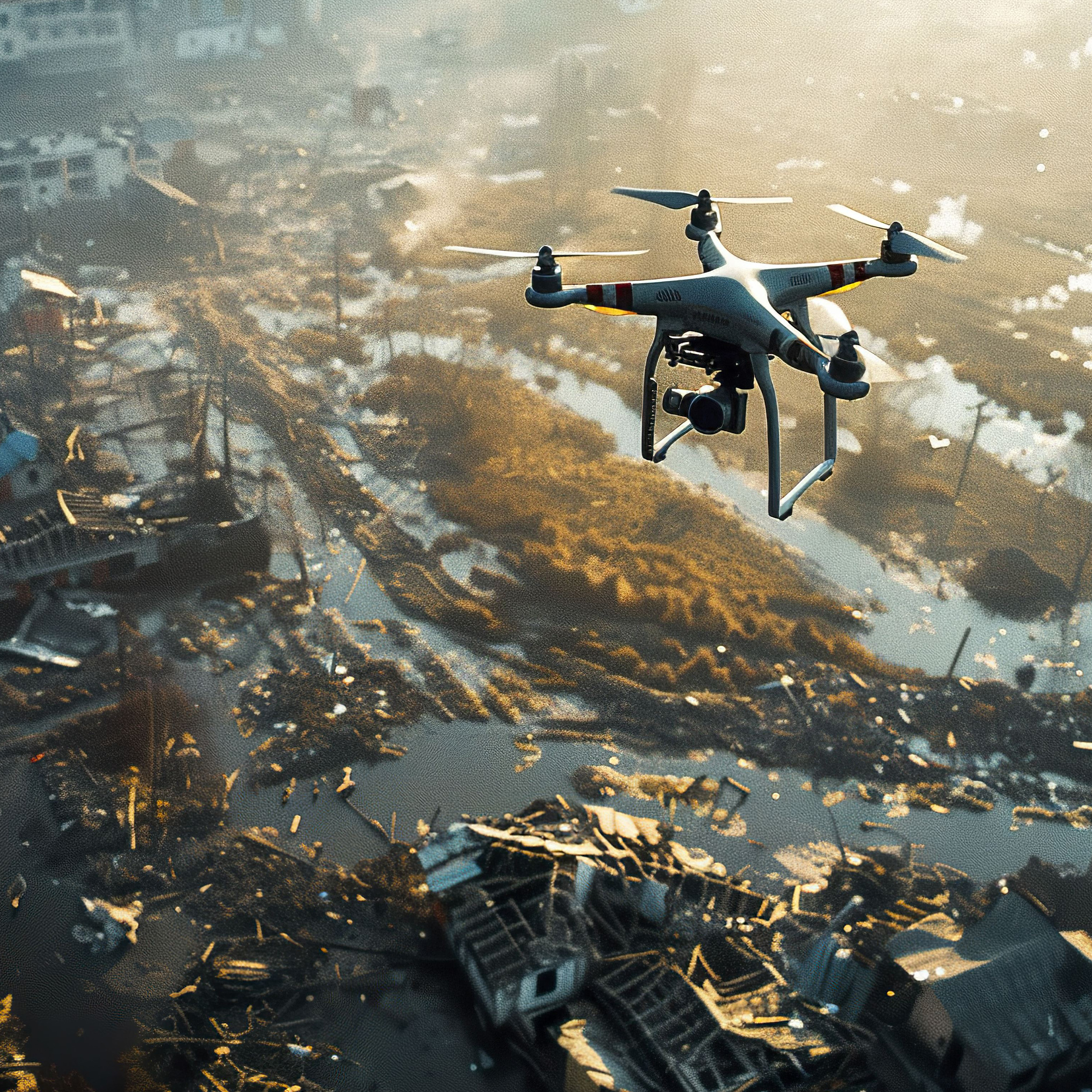
Emergency Response Mapping
Rapid aerial mapping of accident sites, wildfires, or flooding zones.
Generate 2D/3D models to guide responders and assess risks instantly.
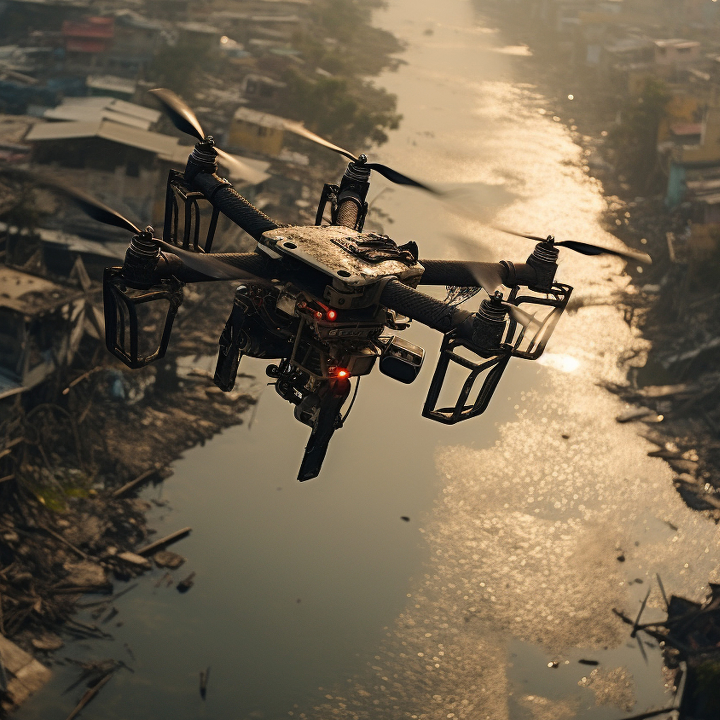
Public Safety & Disaster Relief
Support police, fire, and ambulance services with live aerial monitoring.
Deliver situational awareness in crowd control, fire suppression, or hazardous material incidents.
Specialist Consultancy
Breaking the log jams in public and bespoke surveillance legislation .
Training uplift for keen teams
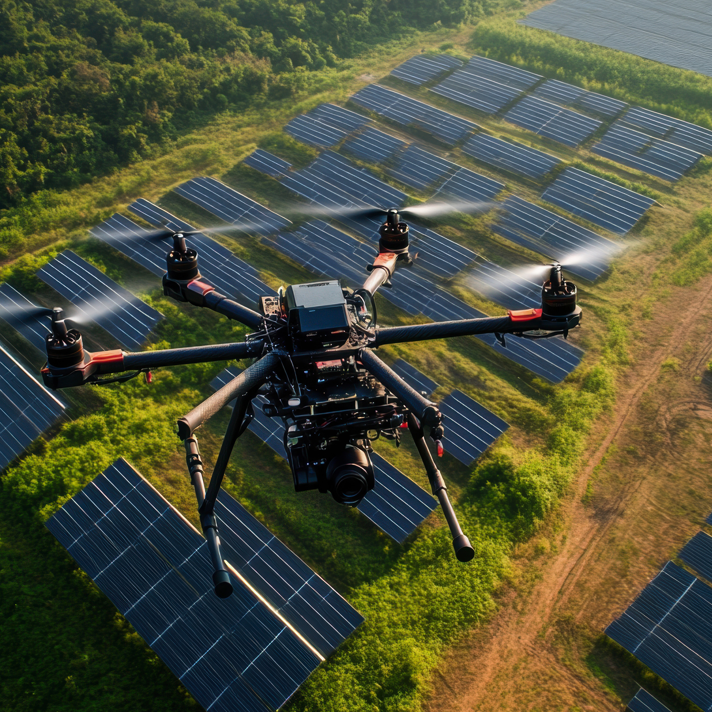
Aerial Data & Mapping
High-precision LiDAR, photogrammetry, and multispectral imaging.
Create digital twins of construction sites, farmland, or infrastructure.
Monitor progress, compliance, and environmental impact with accuracy.
Camera & Sensor Technology
4K/8K ultra-HD video capture for inspections and marketing visuals.
Thermal cameras for energy audits, solar farm inspections, and pipeline monitoring.
Multispectral imaging for agriculture, forestry, and land-use planning.
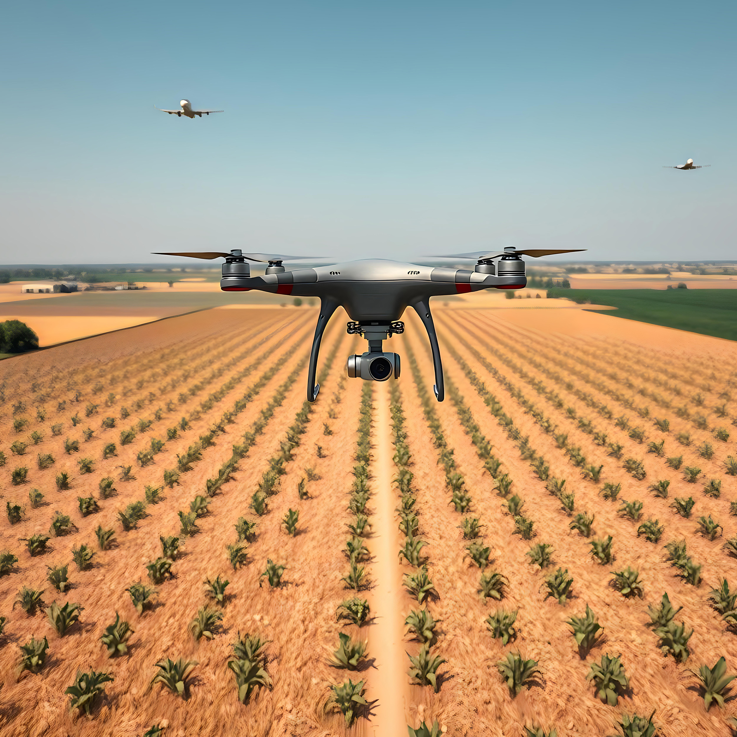
Food Production, Wildlife & Conservation
Monitor habitats without disturbance using long-range zoom lenses and quiet flight systems.
Track endangered species and detect illegal activities (poaching, deforestation).
Map ecosystems to support scientific and environmental research.
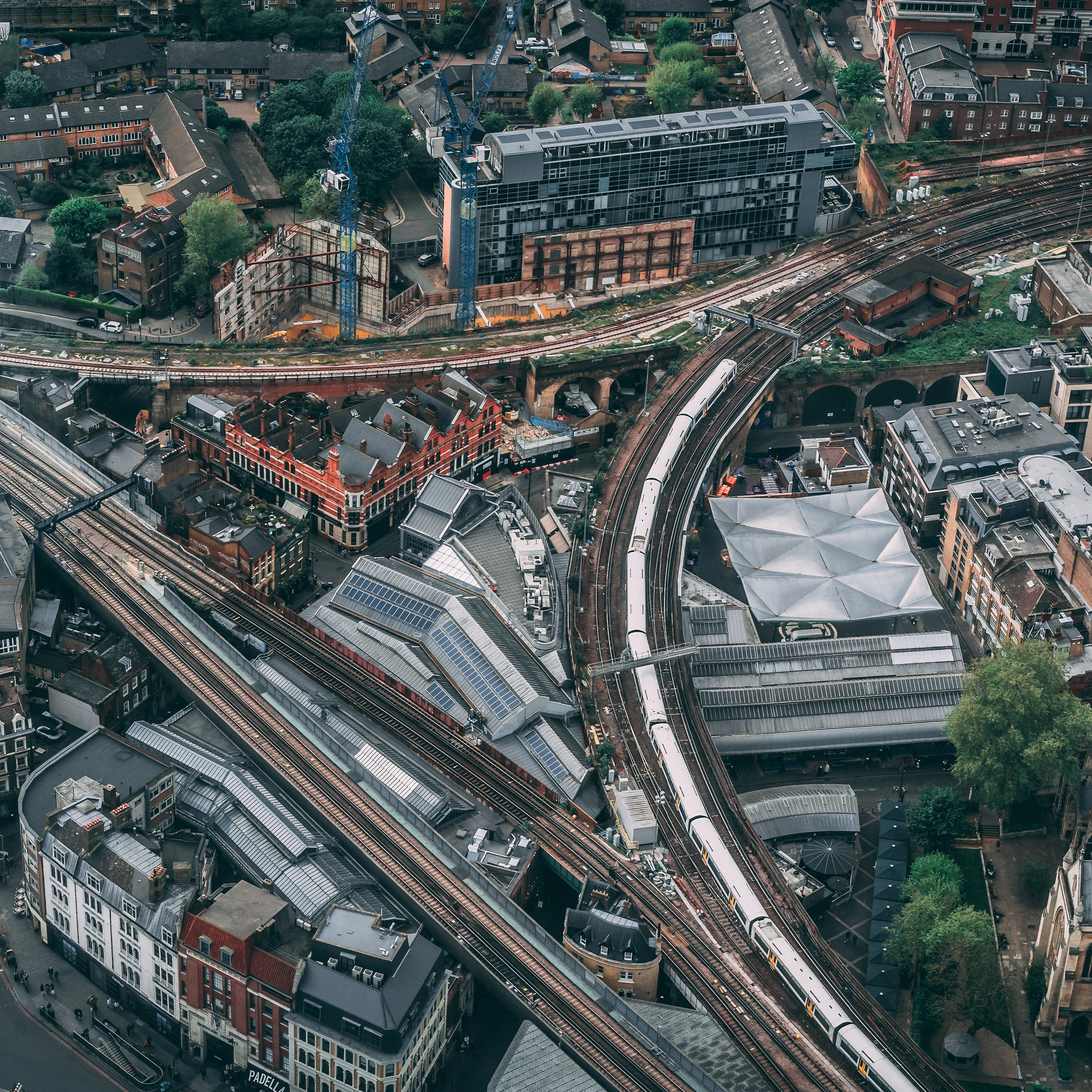
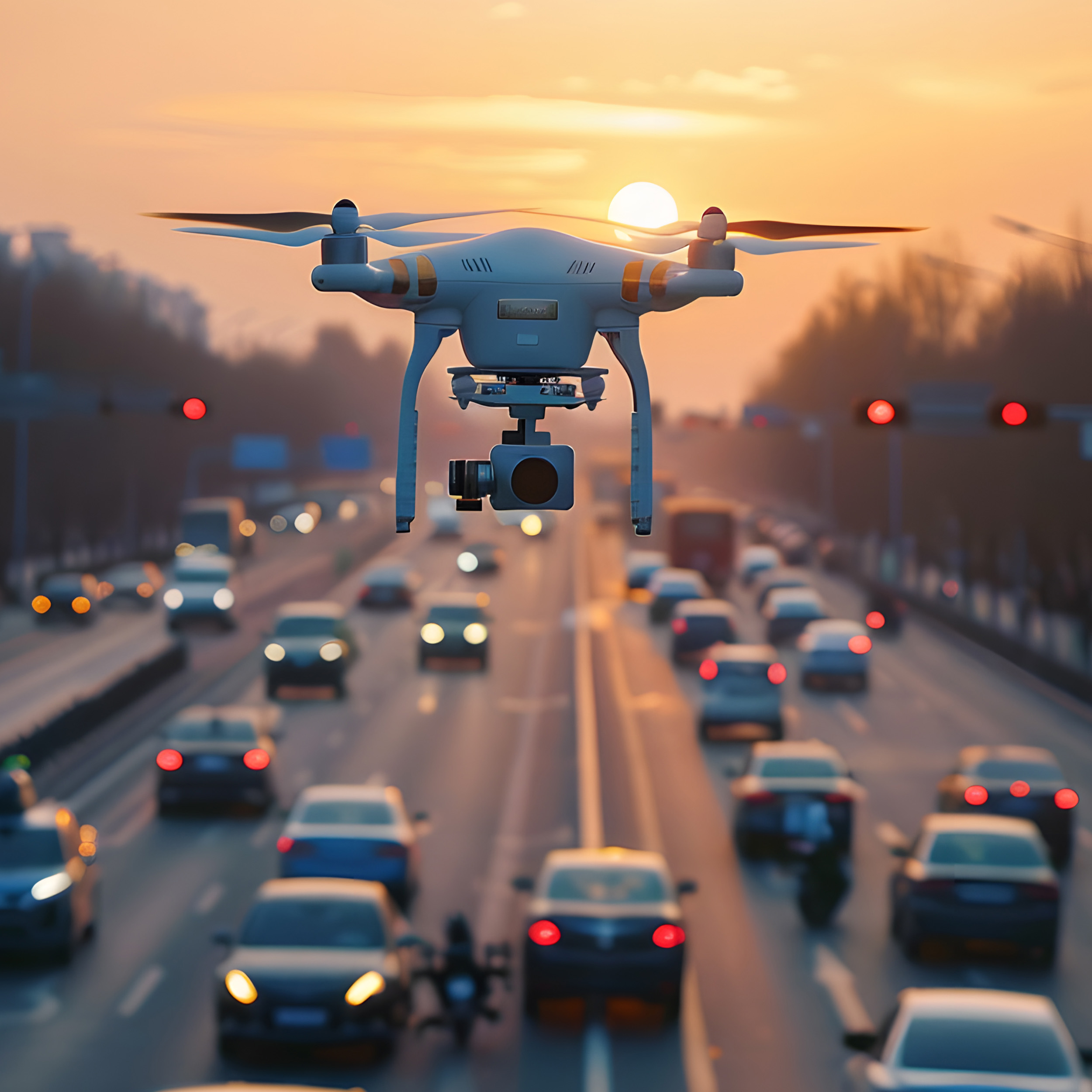
Industrial & Infrastructure Applications
Bridge, railway, and powerline inspections without putting staff at risk.
Reduce downtime and cost by replacing scaffolding or manned aircraft.